
Sultanpur is a district in the state of Uttar Pradesh in India. It is located in the north-central part of the state and covers an area of approximately 4,436 square kilometers. The district is home to several historical and cultural landmarks, including the famous holy city of Ayodhya.
The map of Sultanpur district showcases the various towns, villages, and important locations in the area. It is an essential tool for navigating and exploring the district’s rich and diverse geography.
Map of District Sultanpur, Uttar Pradesh
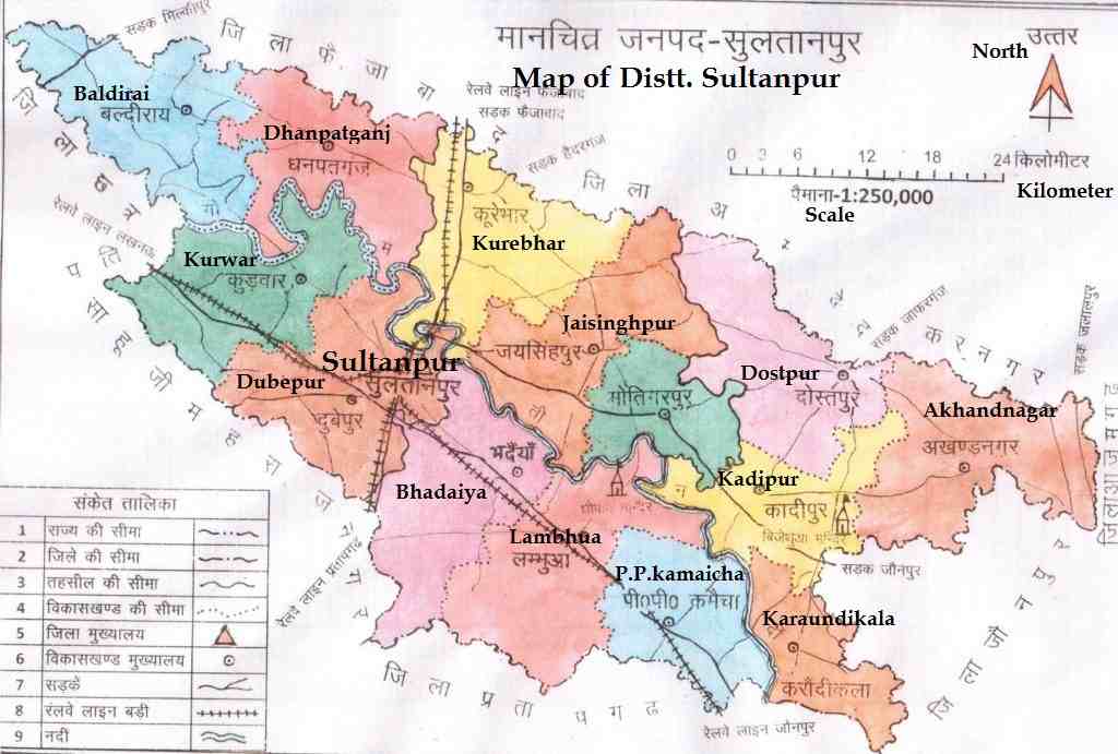
In Conclusion, The map of Sultanpur district is a useful guide for both visitors and residents. It shows important locations, roads, and places of interest. This makes it very helpful for exploring the district. Whether you’re a tourist or a local, the map is an important tool for discovering everything that Sultanpur has to offer.

My name is Azad. I am a resident of Sultanpur district of Uttar Pradesh state. I have done B.Tech in Electronics & Communication. I have been blogging for last 3 years. I love to know about new things about my city Sultanpur and write about them.